價格:免費
更新日期:2018-04-11
檔案大小:31 MB
目前版本:3.1.1
版本需求:需要 iOS 8.0 或以上版本。與 iPhone、iPad 及 iPod touch 相容。
支援語言:丹麥文, 俄文, 加泰羅尼亞文, 匈牙利文, 印尼文, 土耳其文, 巴克摩文挪威文, 希伯來文, 希臘文, 德語, 捷克文, 斯洛伐克文, 日語, 法文, 波蘭文, 瑞典文, 簡體中文, 繁體中文, 羅馬尼亞文, 義大利文, 芬蘭文, 英語, 荷蘭文, 葡萄牙文, 西班牙文, 韓語

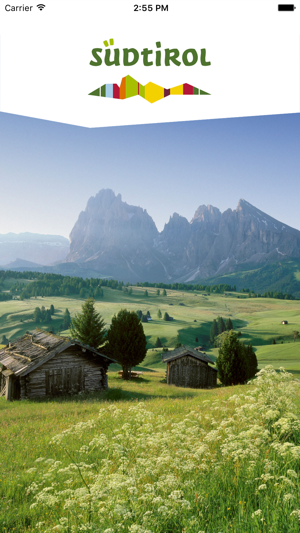
The new South Tyrol / Südtirol Trekking Guide guides you through South Tyrol's most beautiful hiking and trekking tours with detailed maps (GPS). Categorisation according to physical fitness, technique, experience, and landscape allows you to filter individual tours ranging from exciting family hikes to challenging mountain treks for tenacious hikers.
Via the simple sharing functions, you can share all of the South Tyrol / Südtirol Trekking Guide content with your personal networks on Facebook, Twitter or via E-mail. In this way, friends can get the hike without downloading the app; it is displayed as a web version. The special features of this app include many tips given about the hikes. So in addition to a description of how get there, which is also indicated on Maps, there are instructions on how to arrive via public transport.
The South Tyrol / Südtirol Trekking Guide includes walks and mountain hikes in all regions in South Tyrol: Valle Anterselva (Antholzertal), Bolzano (Bozen) and environs, the Dolomites, Valle Isarco (Eisacktal), Val Badia (Gadertal) – Alta Badia, Val Gardena (Gröden), Alta Val Pusteria (Hochpustertal), Val Martello (Martelltal), Merano (Meran) and environs, the region of Mount Ortles (Ortler), Val Passiria (Passeiertal), Val Pusteria (Pustertal) - Plan de Corones (Kronplatz), Renon (Ritten), Catinaccio (Rosengarten) – Latemar, Val Sarentino (Sarntal), Val Senales (Schnalstal), Alpe di Siusi (Seiser Alm), the South Tyrol Wine Road, Valle di Tures e Aurina (Tauferer Ahrntal), Val d’Ultimo (Ultental) - Alta Val di Non (Deutschnonsberg), Bassa Atesina (Unterland), Val Venosta (Vinschgau), Alta Val Venosta (Vinschgauer Oberland), Alta Valle Isarco (Wipptal), Oltradige (Überetsch).
In addition, the app offers a weather forecast with detailed mountain weather data, including temperature, at 1,000, 2,000, 3,000 and 4,000 metres in altitude.
The main functions of the South Tyrol / Südtirol Trekking Guide:

- About 300 selected walks and mountain hikes in South Tyrol
- Detailed maps
- All the contents (maps included) can be saved to be used offline
- Your location indicated on the map (GPS)
- Display of hiking times for individual hikes

- Interactive elevation profile
- Information about parking at the starting point
- Information about getting there on public transport
- Tips for recommended equipment
- Recommended season for each tour

- Review by the editorial staff

支援平台:iPhone
